August 2024 – Present · Expected completion May 2030
PhD, Plant, Environmental, and Soil Sciences
Louisiana State University, Baton Rouge, Louisiana, USA · Concentration: Soil Physics and Remote Sensing

PhD Student & Research Assistant
Founder, Tinga Lens
I am a PhD student and research assistant in the Soil Hydrology and Remote Sensing (SHaRE) Lab, School of Plant, Environmental, and Soil Sciences (SPESS) at Louisiana State University.
My research focuses on soil moisture dynamics, particularly the relationship between near-surface observations and rootzone soil water storage. I combine field measurements, satellite remote sensing, and computational methods to improve drought monitoring and support agricultural decision-making.
I am also the founder of Tinga Lens, an independent project that turns public satellite data into district-level maps of drought, fire, vegetation, flooding and more for Ghana.
August 2024 – Present · Expected completion May 2030
Louisiana State University, Baton Rouge, Louisiana, USA · Concentration: Soil Physics and Remote Sensing
Completed July 2024 · Distinction
Ghent University, Belgium, and Aarhus University, Denmark · Specialization: Physical Land Resources and Global Change
Completed September 2021 · First Class Honours
Kwame Nkrumah University of Science and Technology (KNUST), Kumasi, Ghana · Specialization: Silviculture and Forest Management
How near-surface soil moisture observations relate to deeper soil water storage, and how long soils retain the signal of wet and dry periods.
Combining satellite soil moisture and thermal observations with ground measurements for hydrologic applications.
Developing interpretable soil moisture indicators to support drought monitoring and agricultural decisions.
Evaluating how machine learning can predict soil hydraulic properties, and where data limitations, spatial scale, and transferability constrain it.
Using surface and air temperature patterns to estimate daily evapotranspiration across different climate regimes.
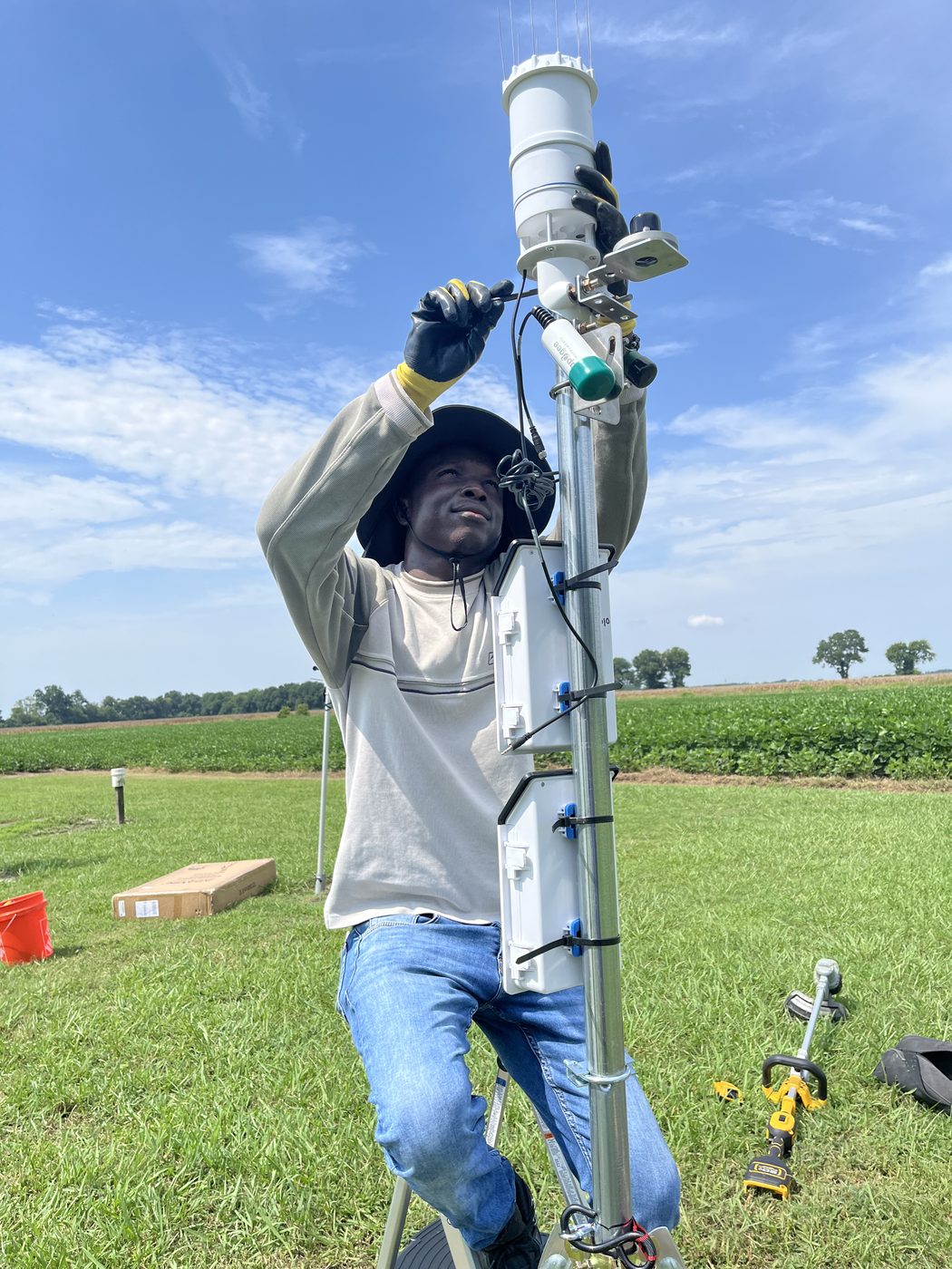
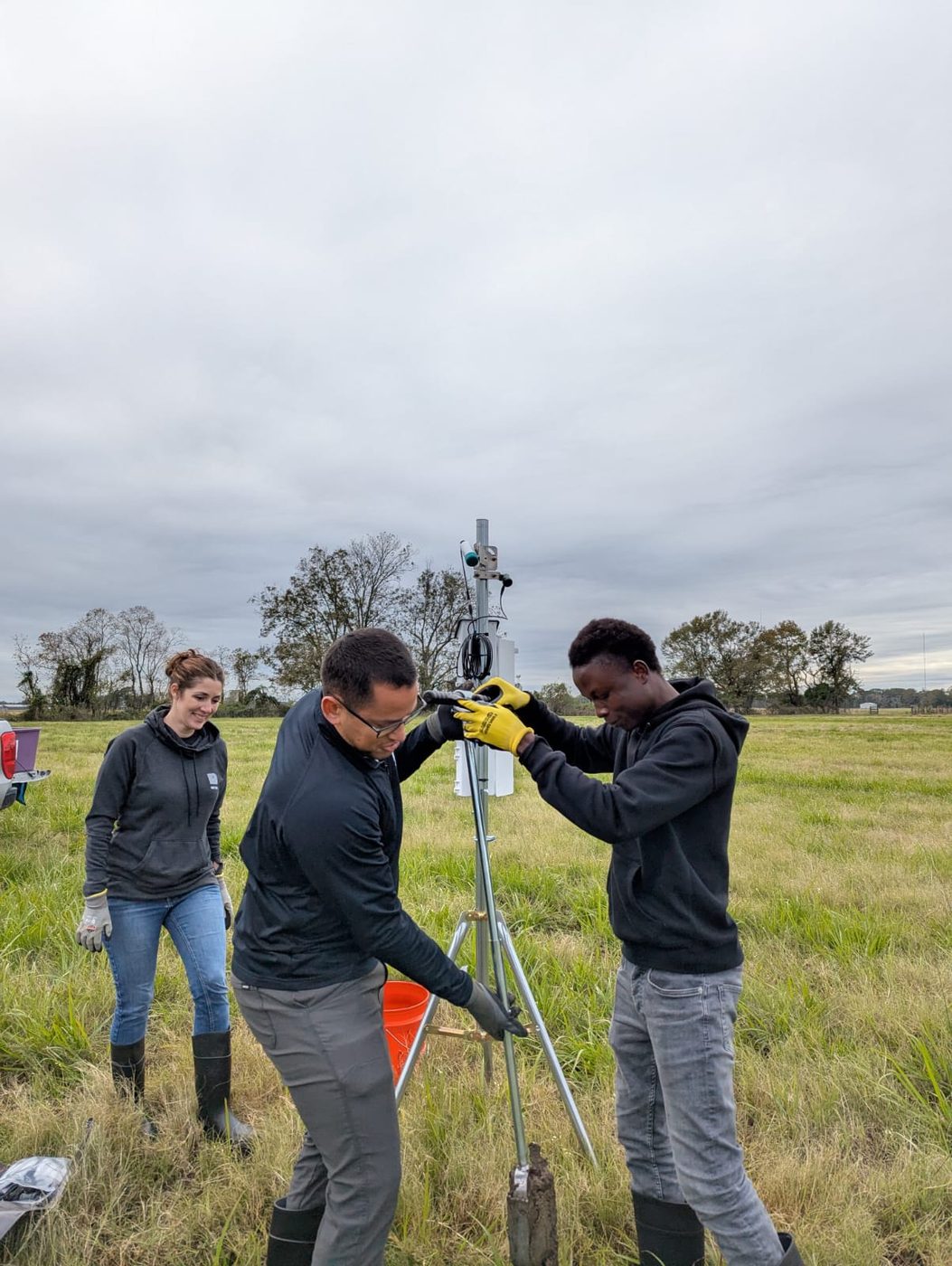
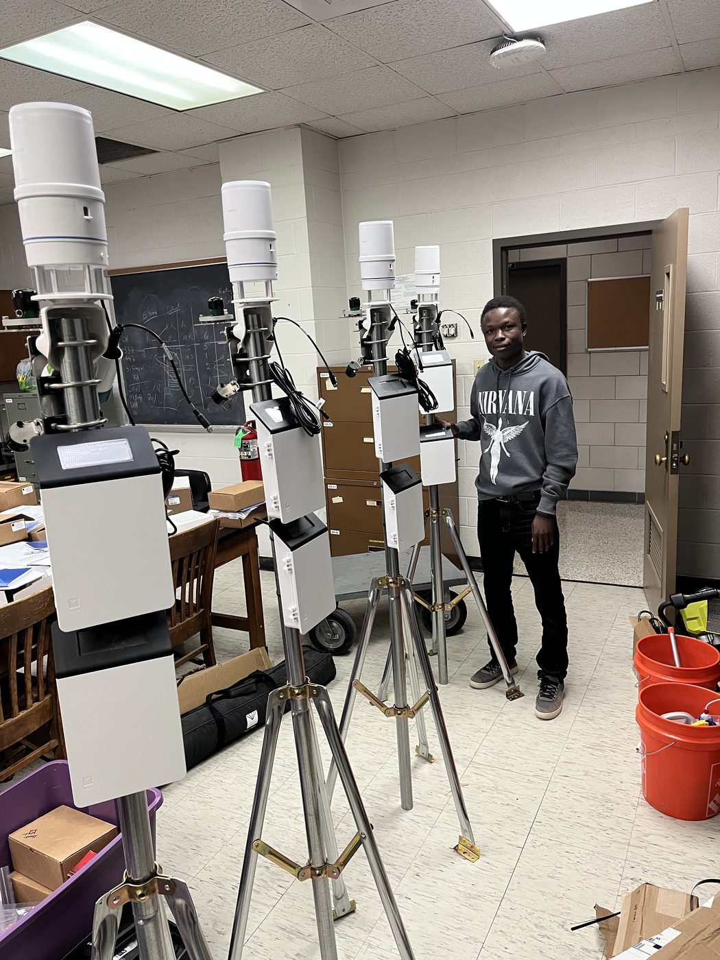
Designing and deploying soil, vegetation, and weather sensor networks that deliver quality-controlled, near-real-time data.
2026 · Peer-reviewed review article
Vadose Zone Journal · doi:10.1002/vzj2.70154
2026 · Peer-reviewed article
Vadose Zone Journal · doi:10.1002/vzj2.70084
Additional publications will be added as they become available.
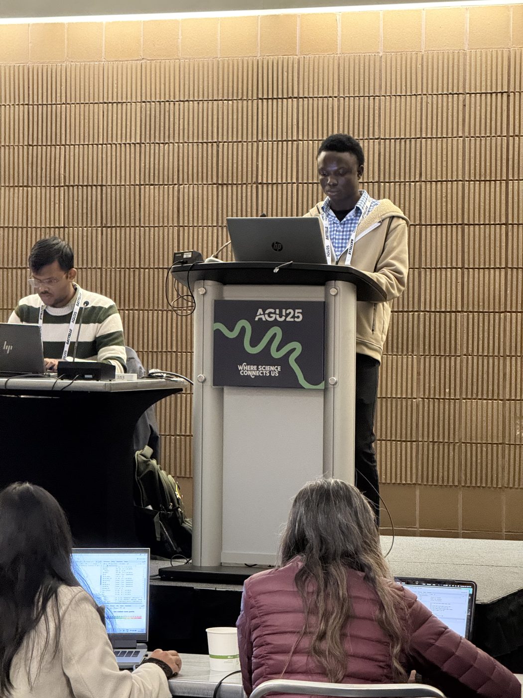
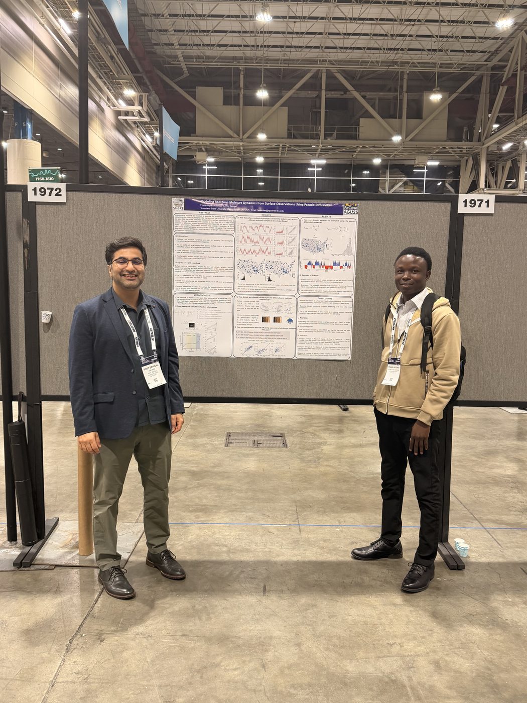
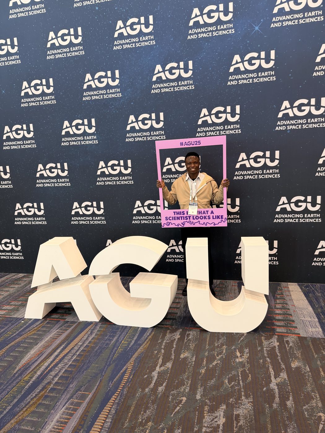
December 2025 · New Orleans, Louisiana · Poster
Adekilae, F. A., & Sehgal, V. · American Geophysical Union (AGU) Fall Meeting
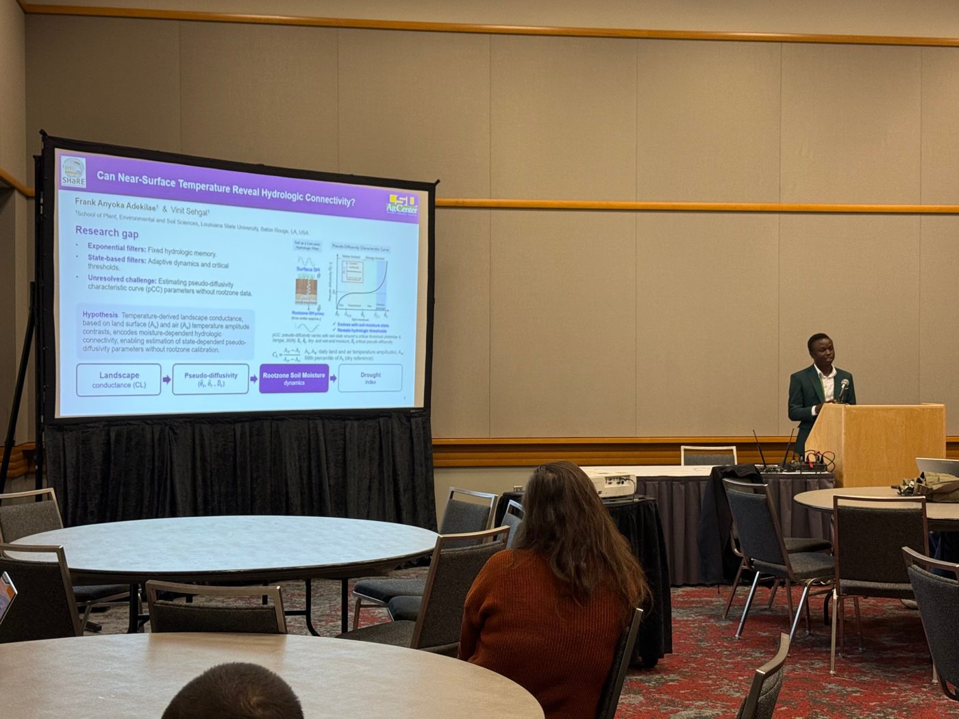
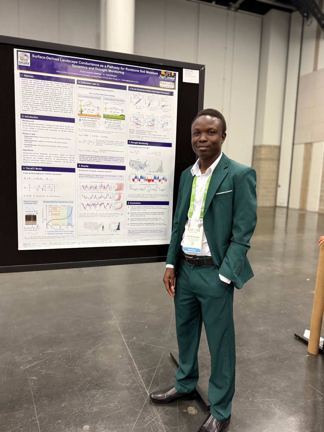
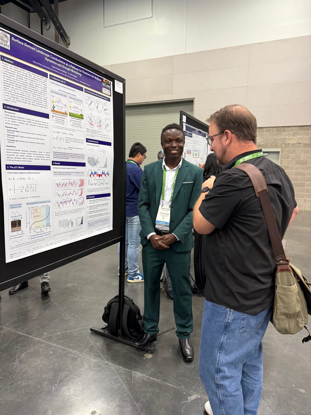
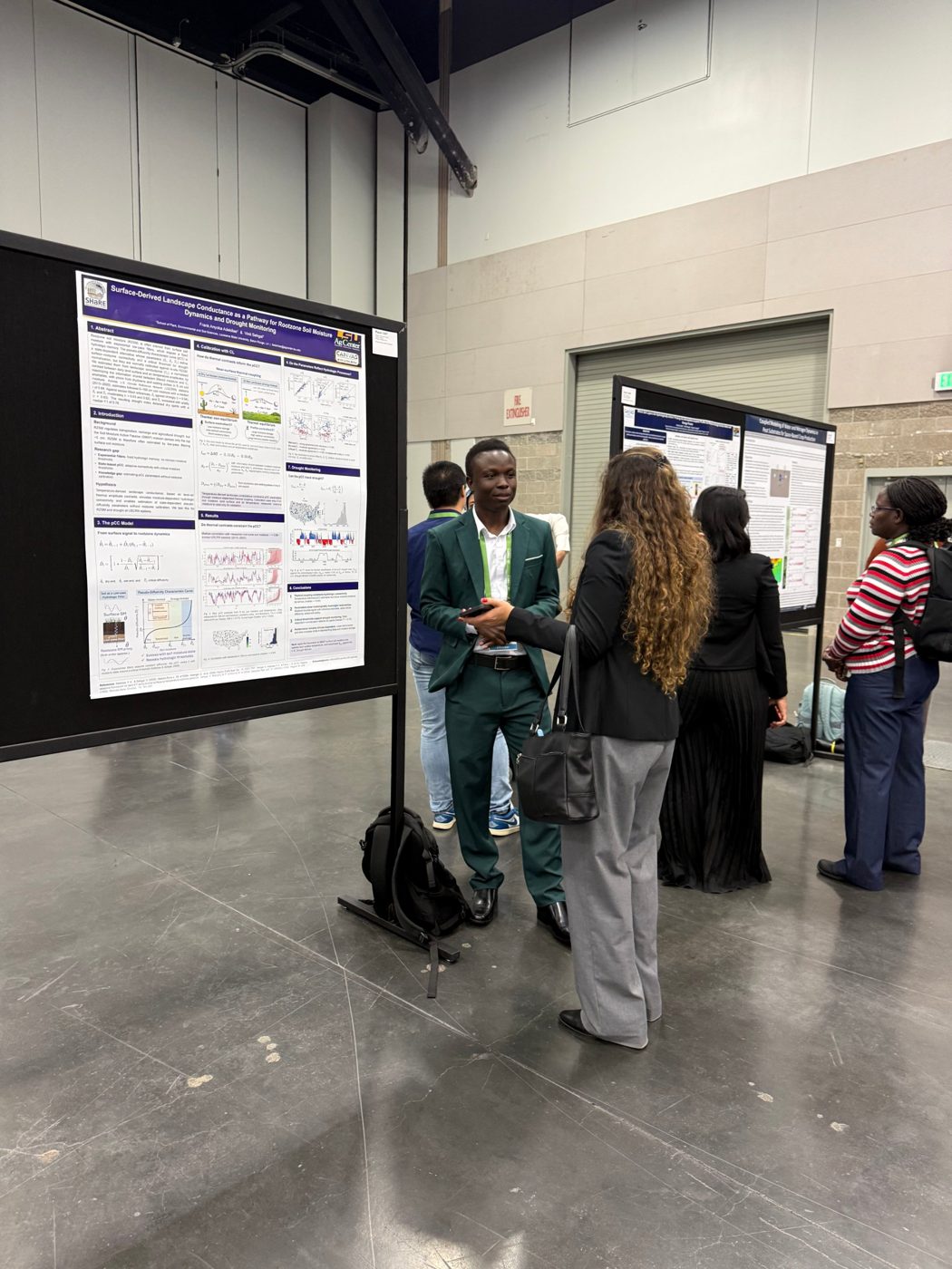
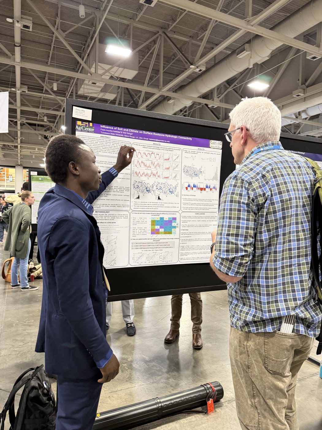
November 2025 · Salt Lake City, Utah · Short oral presentation and poster
Adekilae, F. A., & Sehgal, V. · CANVAS 2025 (ASA, CSSA, SSSA Annual Meeting)
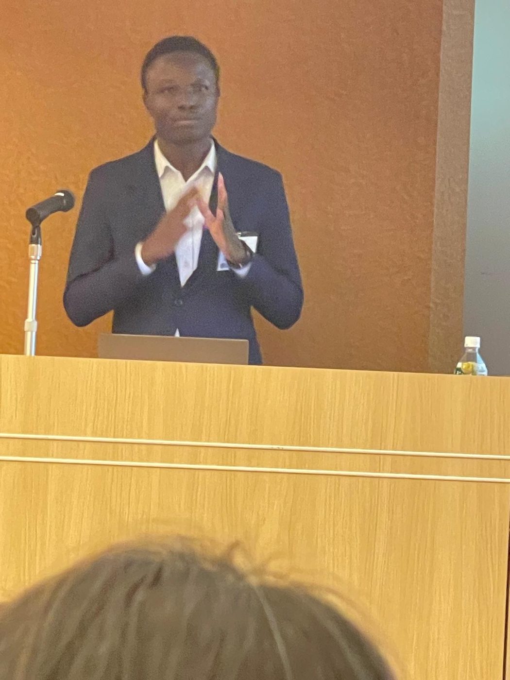
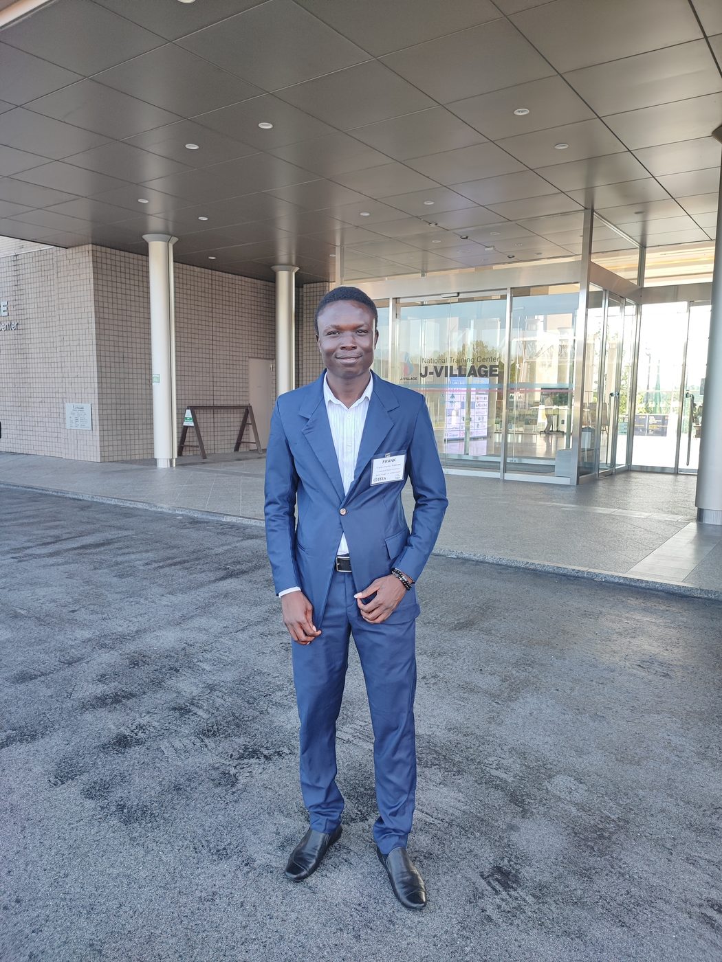
August 2025 · Fukushima, Japan · Flash oral presentation and poster
Adekilae, F. A., & Sehgal, V. · 2025 Kirkham Conference
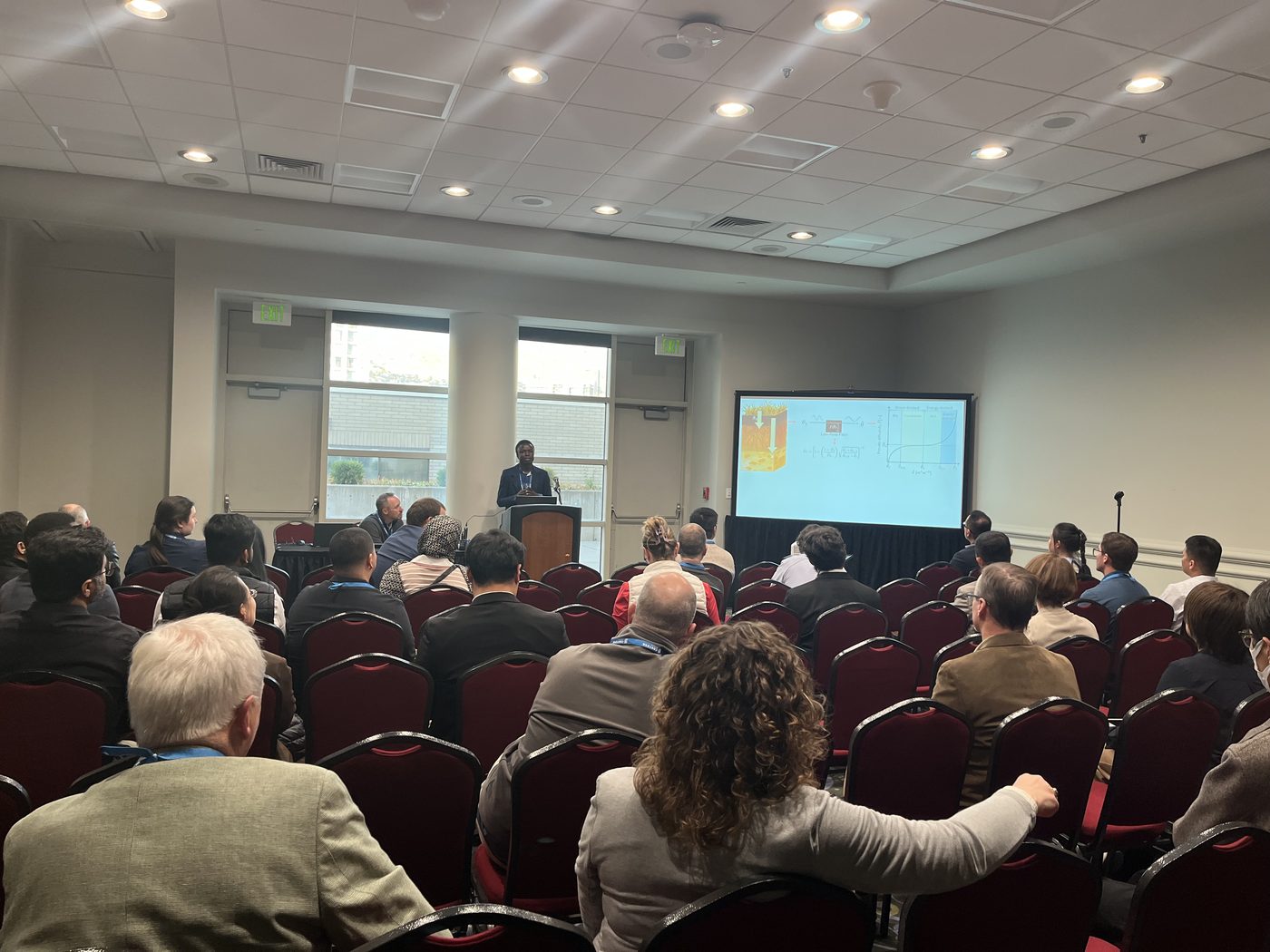
June 2025 · Fort Collins, Colorado · Oral presentation
Adekilae, F. A., & Sehgal, V. · 2025 National Soil Moisture Workshop, Colorado State University · Watch the recording
2026
American Society of Agronomy (ASA), Crop Science Society of America (CSSA), and Soil Science Society of America (SSSA). Competitive fellowship selected from more than 175 graduate student and postdoctoral applicants, including Bayer mentorship, leadership development, CANVAS participation, and $1,000 in travel support.
2025
Agronomic Science Foundation. Competitive $2,500 travel grant through the Kirkham Fund and Van der Ploeg Fund to attend and present research at the 2025 Kirkham Conference in Fukushima, Japan.
2022–2024
European Union. Fully funded €49,000 scholarship covering tuition, insurance, international travel, installation costs, and monthly subsistence for the International Master of Science in Soils and Global Change.
2017–2021
Kwame Nkrumah University of Science and Technology (KNUST), Ghana. Fully funded four-year undergraduate scholarship covering tuition, accommodation, academic resources, leadership development, and living expenses.
August 2024 – Present · Baton Rouge, Louisiana
Louisiana State University. Develop physics-based models of rootzone soil moisture, analyze large satellite and climate datasets, and help build and deploy LaCADIAN, a statewide climate and digital agriculture monitoring network. Explore LaCADIAN data (interactive map and downloads)
February – August 2022 · Ghana
Kwame Nkrumah University of Science and Technology. Led farmer training on sustainable fertilization and conservation agriculture, coordinated soil sampling and field data collection, and supported climate-smart agriculture and sustainable land management with farming communities.
March – May 2022 · Remote
National Geographic Society and The Nature Conservancy. Researched marine conservation challenges and community impacts, engaged community leaders and conservation practitioners, conducted a landscape and gap analysis, and developed a community-focused conservation proposal. View my StoryMap: The Story of the Hammerhead Shark Fishery in Ghana
2026 – Present
Started and lead an independent environmental monitoring project for Ghana. I choose the datasets, design the methods, build the processing, and review each map before it is published. tingalens.org
2025–2026
Reviewer for international journals and conferences in soil science, hydrology, and remote sensing.
December 2025 · New Orleans
Co-organizer and instructor, Large-Scale Geospatial Data Analysis and Visualization in R. Course materials
August 2025 · J-Village, Fukushima, Japan
Session co-organizer, Rapid Poster Presentations Session #3.
Louisiana State University
Vice President (September 2026–present); Treasurer (October 2025–September 2026).
September 2018 – Present · Natugnia, Ghana
Lead annual community education and awareness initiatives on child marriage and its social and educational impacts; mentor youth on academic achievement and personal development; coordinate community stakeholders and volunteers; and lead fundraising for outreach, student recognition, and educational initiatives.
April – December 2020 · Natugnia, Ghana
Led community COVID-19 awareness and public-health education in the local language and coordinated communication of safety practices.
A reproducible, district-level environmental intelligence platform for Ghana
Tinga Lens is an independently developed environmental monitoring platform that turns public Earth observation, climate, soil, land-cover and biodiversity data into district-level information for Ghana. It covers 260 districts and presents the results as interactive maps, district profiles, downloadable outputs and plain-language explanations. Its outputs are not official warnings or field measurements. I am the project owner and developer.
Environmental data come from many independent providers, and using them together at district scale means working across different grids, time steps, formats, product definitions, access systems and licences. Users also need to know an indicator's reference period, source, uncertainty and meaning, not only its value.
A Python data-processing and update framework and a JavaScript web application. The repository separates the data-ingestion and indicator scripts (scripts/), the processed outputs (data/), the product configuration and interactive maps (js/) and the documentation (docs/). The script scripts/update.py runs each product according to data availability, required credentials, existing output files and rebuild rules. A GitHub Actions workflow runs the processing every Monday and publishes the updated datasets.
The inputs include CHIRPS rainfall, NASA SMAP Level-4 soil moisture, NASA VIIRS vegetation and active-fire data, Copernicus Sentinel-1 flood products, forest and human-modification products, agricultural and soil information, and GBIF occurrence records. Some products use Google Earth Engine, and others use files downloaded directly. The tools are Python, NumPy, pandas, GeoPandas, Rasterio, scikit-learn, NASA Earthdata access, the Google Earth Engine API, JavaScript and Leaflet.
The drought pipeline (scripts/drought.py) turns monthly CHIRPS rainfall into a district-level three-month rainfall indicator:
The percentile is P = 100 × (number of baseline totals below the current value + 0.5 × number tied) / number of baseline years
This indicator shows rainfall relative to a district's own history. It does not directly measure crop damage, streamflow, groundwater or hydrological drought.
Input data → product-specific Python processing → district-level JSON datasets → JavaScript and Leaflet maps and downloads. The scheduled workflow installs the dependencies, restores download caches, runs the processing script and commits the changed data files. Credentials for NASA Earthdata, FIRMS, GBIF and Google Earth Engine are read from repository secrets and are not in the published scripts. Datasets that update regularly are kept separate from those rebuilt only when a source or model changes. The workflow lets each layer finish even if another one fails, so successful layers are published and failures are reported afterwards.
Tinga Lens labels the type of evidence behind each product: observations, environmental conditions, products published by others, derived estimates and experimental models. This keeps model output from being presented as direct measurement.
The validation notes report a leave-one-fire-year-out test of the experimental fire-probability model, with ROC-AUC, Brier scores, calibration and a comparison with a seasonal reference model. They also include event-based checks of selected flood outputs against other mapped events and public reports. These are preliminary evaluations and not a systematic ground validation of every map.
Known limits are the use of district averages, reference periods that differ between products, bias in species occurrence records, cloud and revisit constraints, classification uncertainty, and the lack of systematic comparison with ground measurements in Ghana for most products.
The code is public on GitHub and a versioned release is archived on Zenodo. The README explains how to install the dependencies and run the update process, and some products need external accounts. The code is under the MIT licence, original documentation and data are under CC BY-NC 4.0, and third-party terms apply to the source data.
I make no claims here about user numbers, prediction skill across all products or uptime, because those have not been measured. The case study is based on the public repository and website as reviewed on 9 November 2026.
School of Plant, Environmental, and Soil Sciences
Louisiana State University
Baton Rouge, Louisiana
Email: FAdekilae@agcenter.lsu.edu